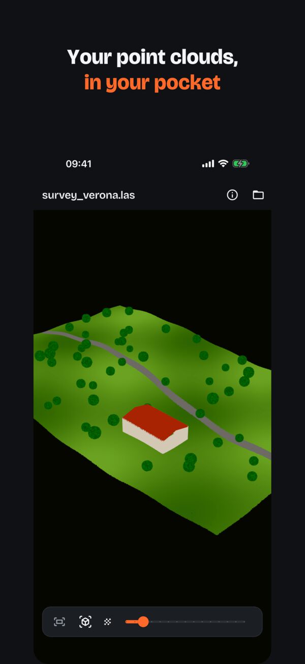
Point clouds in your pocket. Offline.
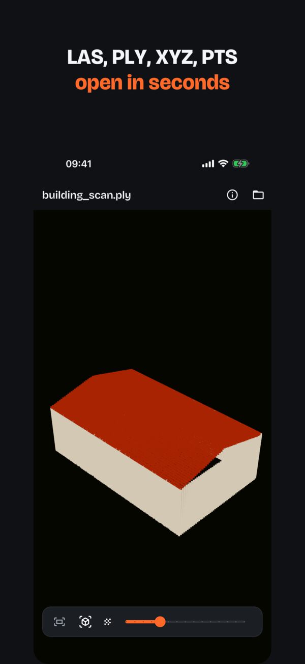
Open a LAS or LAZ file from a drone flight, an E57 from your laser scanner or a PLY from photogrammetry, and orbit it with your fingers. On iPhone, iPad, Android and now Mac. Everything stays on your device.
Free to download. Version 1.1 adds PointPeek Pro, with a 1-week free trial.
WHAT IT OPENS
The formats you actually get from the field
LAS
Versions 1.0–1.4, point formats 0–10, with classes and intensity.
LAZ
Compressed LAS, opened directly: no need to unzip it on a computer first.
E57
The exchange format of terrestrial laser scanners.
PLY
Point clouds, ASCII and binary, from photogrammetry and LiDAR apps.
XYZ · PTS · TXT · CSV
Point lists: XYZ, XYZI, XYZRGB, XYZIRGB.
Big files
Streams the file and keeps up to 6,000,000 evenly sampled points.
FREE
Everything you need to check a survey
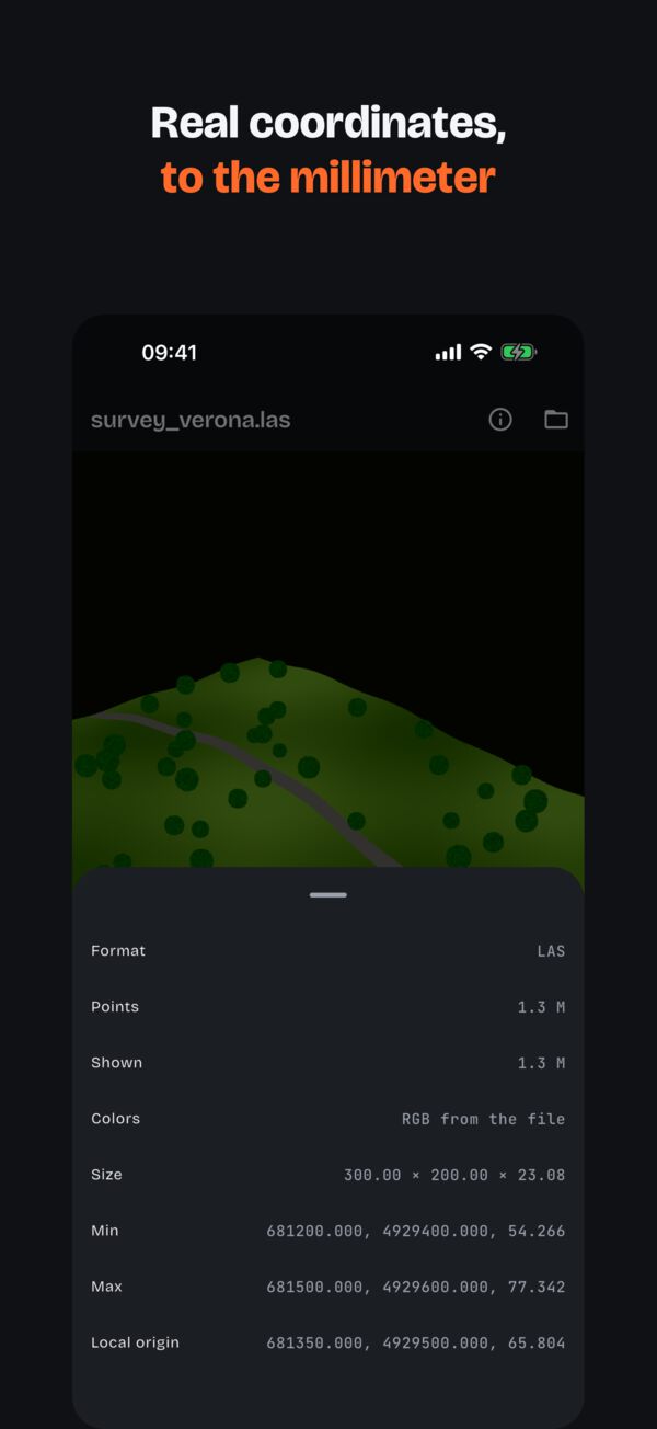
Real coordinates
Survey coordinates (UTM and others) kept to the millimeter. File info shows point count, size, real-world bounds and local origin.
Color and classes
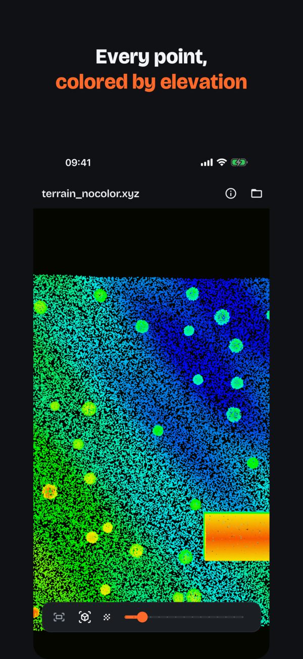
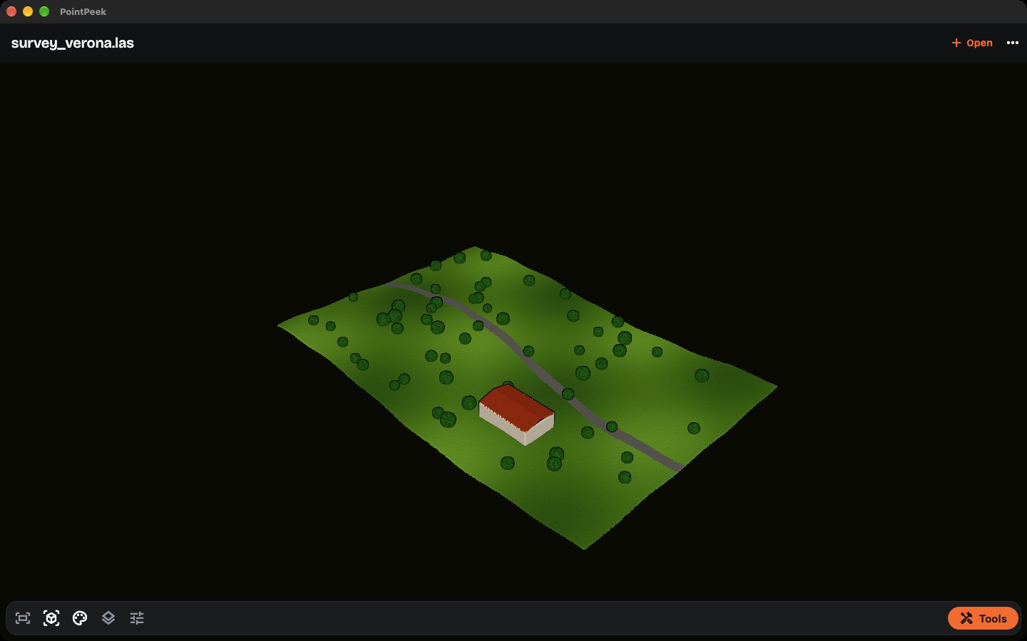
True RGB colors, or color by elevation, intensity or LAS class. Hide classes such as vegetation to see the ground.
Views and shading
Top, front, side and 3D views, fit to screen, adjustable point size and Eye-Dome Lighting to read shapes in clouds without color.
Opens from anywhere
Files, iCloud Drive, Google Drive, email or any app with “Open with”, and recent files one tap away. Works with exports from DJI Terra, Pix4D, Agisoft Metashape, CloudCompare, Polycam and Scaniverse.
NEW IN 1.1
Now on Mac
The same app on the big screen, with a File menu and windows you can resize. It is the same App Store app as on iPhone and iPad, so a PointPeek Pro subscription works on all your Apple devices with the same Apple Account.
POINTPEEK PRO
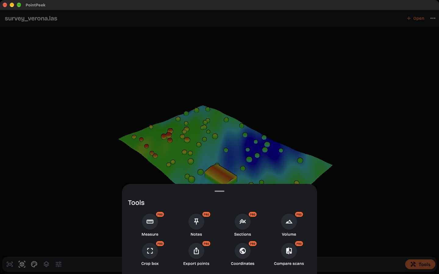
Survey tools for the field PRO
For surveyors, geometri and contractors who need more than a look. Every tool works on the device, offline.
Measurements
Distances, heights, slopes and areas on the cloud.
Stockpile volume
Cubic meters of a pile or an excavation, ready for the invoice.
Sections
Cross sections and profiles at any point, for drawings and checks.
Crop and export
Isolate a room, a facade or a lot, and send the client only that part as LAS, PLY or XYZ.
Notes and PDF report
Pin notes and photos on the cloud and share a PDF report with the site team.
EPSG coordinates
Read points in the project reference system, like on the survey.
Compare scans
Color the differences between two surveys of the same site: progress, settlement, as-built.
Augmented reality
Place the scan on a table or on site at real scale. On iPhone and iPad.
Yearly
€79.99 / year
1 week free for new subscribers, then €79.99 a year (about €6.67 a month).
Monthly
€9.99 / month
Billed every month. Cancel anytime.
Prices in the euro area, VAT included; the store shows the price for your country. Subscriptions renew automatically until cancelled in your Apple Account or Google Play settings. Bought through Apple In-App Purchase or Google Play. Terms of Use
PRIVATE BY DESIGN
Your clients’ data stays with you
No account, no cloud, no upload. PointPeek reads your files on the device and never sends them anywhere, and there are no analytics or ads. The only connection is to Apple or Google, when you buy or restore Pro. Privacy Policy
SUPPORT
Questions or a file that won’t open?
Try the sample files, or write to info@neurafit.it. PointPeek is made by NEURAFIT S.R.L., the team behind ShapePeek.